


Getting Your Private Pilot License – First Navigation Flights
19 November 2018 | Updated on February 05, 2024
This post is part of the story series Getting Your Private Pilot License.
As a glider pilot with about 220 flying hours, I finally decided to take the jump and start my Private Pilot training in June 2018. In this series, I share my experiences of getting my Private Pilot License in Belgium. From preparing for my first lesson, to my first solo flights and ultimately my checkride.
I hope these articles will be able to help you get the most out of your own flight training!
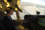
Now that I had completed my first solo flights, practiced emergencies and some advanced maneuvers, it was finally time to start the fun part of PPL flight training: navigating!
This part of training mainly consists of four parts/exercises in our training schedule:
Exercise 18a: Navigation
Exercise 18b: Navigation problems at lower levels in reduced visibility
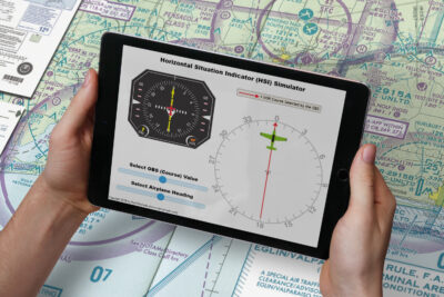
Exercise 18c: Radio navigation
Exercise 19: Basic instrument flight
Of course, we needed to start with the basics of cross-country flying and navigating.
As a glider pilot, cross-country flying is something I’m familiar with. The whole point of our sport is to stay in the air as long as possible and fly as far as possible (and land back home – preferably). This takes preparation, but while flying cross-country in motorized airplanes is mainly following a plan and making minor corrections, in gliding we constantly have to adjust our plan in the air because of changing weather, wind, thermals,… It might very well be we plan a 300km flight to the North, but once in the air this becomes a 200km flight to the South. Always exciting! But now back to PPL training..
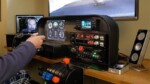
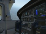
So flying cross-country in a motorized airplane was a lot different. There’s just a lot more involved: map preparation, NOTAMS, destination/alternate airfield charts and procedures, ATC, flight following, drift, navigation logs, transponder,… It might feel a little overwhelming at first.

My routine for each cross-country training flight was about the same:

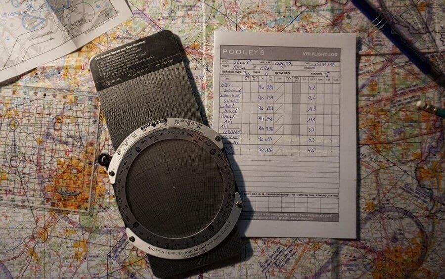
After the previous flight or a few days before my flight, I discussed with my instructor where we would be going. In Belgium, we have quite a lot of nice airfields to fly to in a 30min-1h range. Usually the night before the flight, I prepare the route on my map, check airspace and create a navigation log. I personally use Pooley’s navlog, which I find the easiest to use!
In the navlog I add the route, tracks, en-route frequencies, VOR’s to use etc. Everything I can do without knowing the exact wind I will do the day before. On the morning of the flight, I usually wake up a little earlier and check the weather. I use the forecasted wind to calculate headings, ground speed and timings using my ASA metal flight computer (the old-fashioned way of course) and add those to my navlog en map. I also check for special NOTAMs and study the local arrival/departure procedures of our destination airfield. Once I arrive at the airfield, I meet up with my instructor and discuss the flight in detail to make sure I’m as prepared as possible.
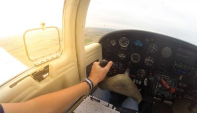
While flying cross-country takes some more preparation than other flights, It’s always nice to fly somewhere new 🙂

Now I’m going to practice some more basic cross-country flights with my instructor, before diving into radio navigation (VOR etc) and going for my long solo cross-country!
Talk soon,
Senne
This post is part of the story series Getting Your Private Pilot License.
As a glider pilot with about 220 flying hours, I finally decided to take the jump and start my Private Pilot training in June 2018. In this series, I share my experiences of getting my Private Pilot License in Belgium. From preparing for my first lesson, to my first solo flights and ultimately my checkride.
I hope these articles will be able to help you get the most out of your own flight training!